In the early 1990s, DARPA developed an airborne, all-weather, radar-based mapping capability that generated maps of the terrain with an accuracy to within six feet of elevation and that could do so day or night, and in adverse weather conditions, such as thick cloud cover or rain.
Under DARPA sponsorship, the Environmental Research Institute of Michigan (ERIM) carried out the project and mounted an interferometric radar system on a Learjet 36A to collect data, which was then processed on the ground into digital elevation models. The IFSARE technology significantly reduced the time and expertise needed to create elevation maps from several months (by way of traditional methods using satellites and ground surveying techniques) to several days.
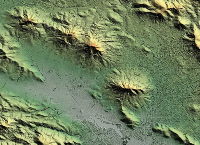
The system provided accurate elevation maps for military operations and commercial mapping applications in both photographic and digital formats. As of DARPA's 60th anniversary in 2018, Intermap, a commercial mapping company that had built a digital mapping technology based on the DARPA-developed technology, was offering a variety of IFSAR-based products and services.