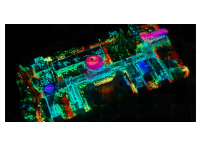
Leveraging past DARPA developments in laser-based versions of RADAR—known as LIDAR, short for light detection and ranging—the High-Altitude LIDAR Operations Experiment (HALOE) provided unprecedented access to high-resolution 3-D geospatial data. First deployed to Afghanistan in 2010, HALOE was one of several DARPA advances directly supporting the warfighter that earned the Agency the Joint Meritorious Unit Award from the Secretary of Defense in 2012.
The HALOE sensor pod can collect data more than 10 times faster than state-of-the-art systems and 100 times faster than conventional systems. At full operational capacity, HALOE could enable mapping of 50 percent of Afghanistan in 90 days. State-of-the-art deployed systems would have required three years to accomplish that task, and more conventional systems would have required 30 years.
In addition to tools like HALOE for strategic-level planning and decision making, other technologies put into operation in Afghanistan served the tactical echelon (for example, the Blast Gauge technology to monitor blast events experienced by warfighters and to assist with triage) and the echelon of Regional Commands and Forward Operating Bases (for example, the MAINGATE system to provide radio interoperability and video feeds for force protection).